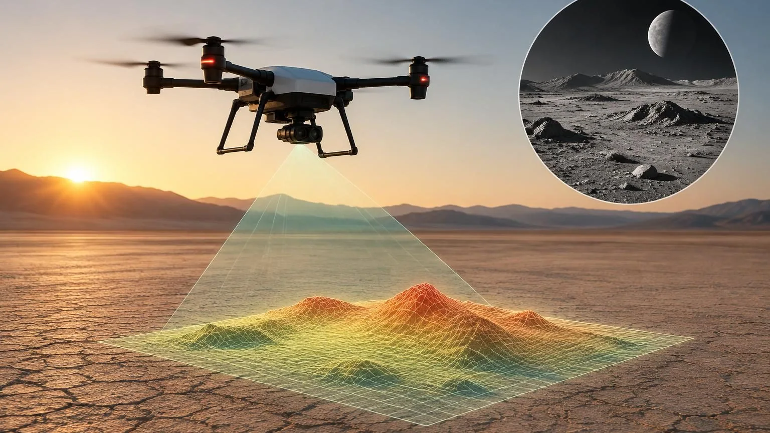
NASA published a November 4, 2026 report on a drone demonstration of autonomous navigation technology intended for planetary landings. The reported flight took place on August 27 at Rogers Dry Lake near Armstrong Flight Research Center in California. The new item is the agency’s account of that earlier test.
What the drone demonstrated
An Alta-X drone carried a SPLICE guidance, navigation, and control payload through simulated lunar descent and landing maneuvers. NASA says the system mapped terrain, assessed landing areas, and could divert toward a safer location when the original target was unsuitable. It generated detailed elevation maps from light-detection and other sensor information.
SPLICE stands for Safe and Precise Landing–Integrated Capabilities Evolution. The program’s official overview describes technologies intended to improve landing accuracy and hazard avoidance. This flight was an Earth-based research demonstration. It was not a spacecraft landing on the Moon or a completed qualification for every planetary environment.
Why choosing a site is an active problem
Our interpretation is that the significant idea is the connection between perception and a permitted change in destination. A navigation system may know where it is going while still needing to determine whether that location is safe. A successful design must make that assessment early enough to leave room for a useful response.
That creates a combined sensing and control problem. A terrain map has to arrive in time, represent hazards at an appropriate scale, and support a maneuver the vehicle can actually perform. Evaluating any one of those pieces in isolation would leave important questions unanswered.
What an Earth test can establish
A drone offers researchers a way to exercise hardware and software together, observe behavior, and repeat selected conditions. It can help reveal integration problems that are hard to see in a software-only simulation. The experiment can be valuable while still leaving environment-specific work for later stages.
A careful follow-up should describe the tested terrain, initial conditions, decision timing, and criteria for a successful diversion. It should also explain which conditions the demonstration did not reproduce. Those boundaries make a result more useful to another engineering team trying to understand its significance.
The next evidence to look for
NASA’s report places the test within continuing work on safer autonomous landings. Future reports will be most informative when they show how the system handles difficult cases as well as successful demonstrations. The August flight, publicly detailed in November, supplies one step in that validation process: a physical test that connects terrain assessment to an actual vehicle response.